I'm the third generation involved in surveying, so have always had an interest in maps and charts, especially the ones from the age of sail. (It is because of this interest that I became involved in ship building)
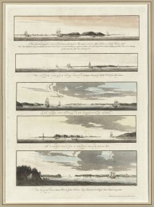
One of my favorite websites is the Norman B. Leventhal Map & Education Center, which offers thousands of maps and charts for free download at very high resolution.
These make for great backgrounds for a ship display or decorating the shipyard(or any other place)
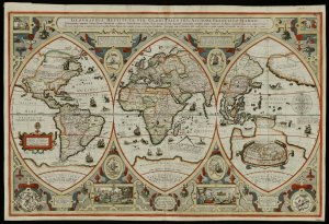
One of my favorites - 1618 World map by Franciscus Verhaer:

Last edited by a moderator:


