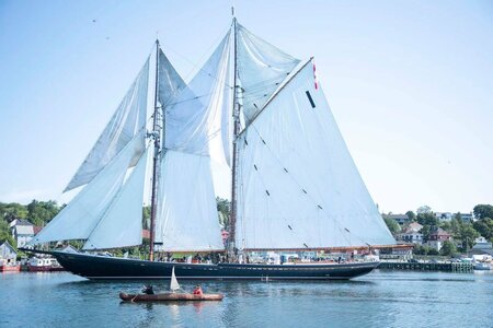
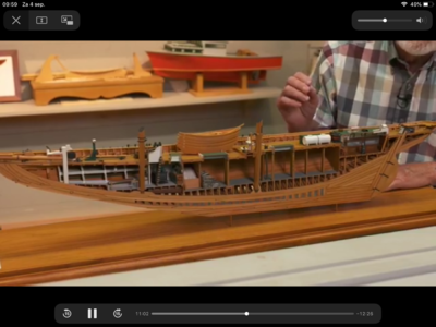
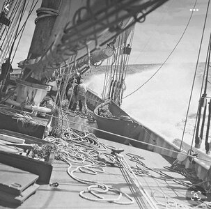
Here is a long explanation with some history showing that there were available options for the two schooners:
The Eastern Great Lakes region covers 51,000 square km of land, and is home to 15 million people. This region is rich in natural resources, industry and agriculture, and forms the heartland of both Canada and the United States. The development of this region has a history that is closely tied to waterways, and the development of canals that promoted growth and prosperity. The St. Lawrence Seaway connects Western and Eastern Great Lakes to the St Lawrence River and the Gulf of Saint Lawrence. The New York State Canal and the St. Lawrence Seaway were linked by the Oswego canal and provided a shorter route for cargo via barges to New York City. The New York State (NYS) Barge Canal and the St. Lawrence Seaway provided pathways for the settlement of the Eastern Great Lakes. Lake Erie drains into Lake Ontario via the Niagara River but the river was not navigable due to the obstacles of Niagara Falls and the Niagara Escarpment. Until the 1820s ships could not travel into Lake Erie. It was not possible to engineer a bypass of Niagara Falls with a series of locks due to the 100 m high Niagara escarpment. This escarpment obstacle to Niagara River navigation was overcome in 1829 with the completion of the first of four Welland Canals with locks 40 kilometers west of the Niagara River through the glacial till and alluvium that overlays the Niagara Escarpment. This permitted ocean going ships to enter Lake Erie and to continue on to Lake Michigan, Lake Huron and Lake Superior. The Eastern Great Lake shorelines, river banks and canals are actively eroding as a consequence of high surface water levels and flooding. The settlement of millions of people into the Eastern Great Lakes via the NYS Barge Canal and St. Lawrence Seaway migration pathways have created environmental and natural resource risks and challenges. These challenges and risks include deterioration of the Fourth Welland Canal and the need to replace it with the Fifth Welland Canal, industrial and urban wastewater disposal, shoreline, river bank and canal erosion as results of high water levels, the building of structures on the shoreline banks, invasive species and flooding.
Copied from a google search. Rich (PT-2)

